Geography
Places, Patterns, and People
Continents, countries, regions, and map reading basics.
Ages 5–14+
Map skills
Memory
Where Learning Meets Play
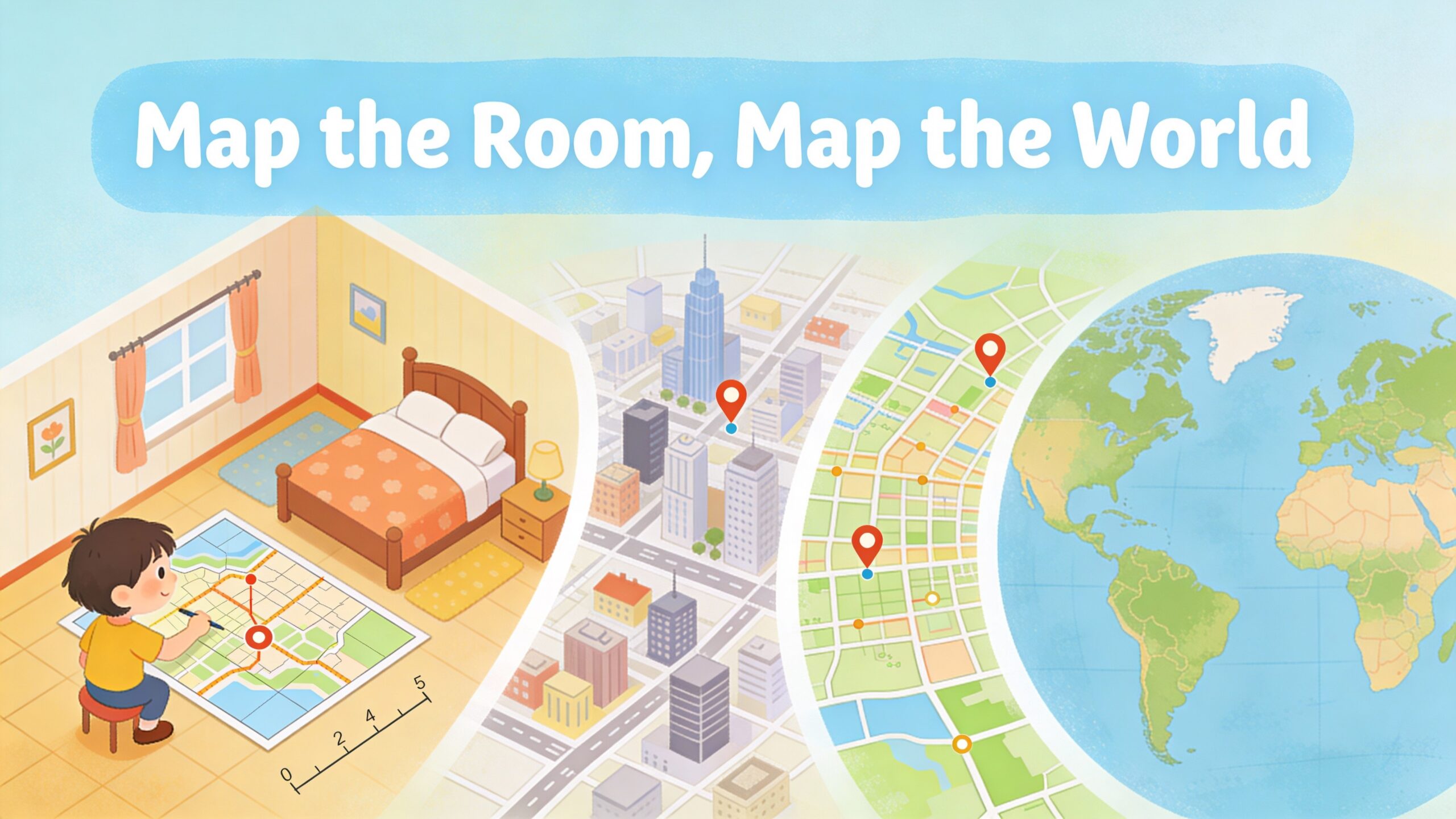
Discover Street • See It to Learn It
This category is built as a content engine first: explainers, map-guides, visual learning techniques, and “micro-lessons” you can do in minutes. Products are second—recommended only when a map, poster, puzzle, or kit turns learning into something tactile and memorable.
A quick visual lesson that teaches scale, symbols, and spatial thinking.
Each lane is content-first: core concepts, quick lessons, and guided practice—then optional map products when tactile learning helps.
Continents, countries, regions, and map reading basics.
Weather maps, layers of the Earth, simple star maps.
Historical maps, migrations, and “how borders changed.”
How visuals communicate: legends, keys, and graphic organizers.
Simple navigation skills: routes, distance, and scale.
Family maps: neighborhoods, travel, memory maps.
Visual learning works when kids actively translate what they see. This quick method turns maps and diagrams into memory.
Start with a single visual: a map, a diagram, or a simple infographic. Keep it uncluttered.
Try: Mini atlas
Ask kids to explain what they notice: “What stands out?” “What pattern do you see?” “What’s the legend?”
Learn: Questions that work
Kids copy the idea in a simpler form (their own map, symbols, or quick diagram). That’s where learning locks in.
Printable: Blank maps
End with one “retrieval” question: “Can you redraw it?” “Can you explain it without looking?”
Practice: Visual lessons
If a map feels overwhelming, zoom in: focus on one region, one symbol set, or one route. Small wins beat big overwhelm.
Map reading guide →Short, structured lessons built around a single visual.
A quick map scan + three “anchor facts” that make continents memorable.
Decode fronts, pressure, and icons—then predict tomorrow’s weather.
Compare two maps and explain what changed—then make a simple timeline.
Teach kids how symbols work—then have them design their own legend.
Visual learning is powerful at every age—these ranges keep lessons age-appropriate.
Symbols, simple routes, and “find it on the map.”
Map basics: continents, symbols, and simple scale.
More detail: weather, regions, time zones, and history comparisons.
Projects: map a system, plan routes, build an atlas page.
A browsable “atlas” experience built from content-first modules: regions, key facts, and map-based questions.
Key places, physical features, and “find it” challenges.
How fronts move, what pressure means, and how to read icons.
Borders shift, alliances change—compare two time periods.
Build symbol literacy by decoding and designing legends.
Blank maps, symbol cards, and graphic organizers that make learning visible.
Blank maps with different detail levels—perfect for labels and quizzes.
Icons + meanings + mini challenges: decode and design legends.
A quick reference for icons, fronts, and pressure with practice questions.
Plan a route, estimate distance, and choose stops using a simple map layout.
Short, practical guides that make maps and visuals easier to teach.
A kid-friendly guide to map fundamentals with mini practice.
Decode symbols and patterns, then make a simple prediction.
Visual tools for summarizing, comparing, and remembering.
A simple method for connecting place + time.
Quick answers for teaching maps and visuals without overwhelm.
Start with 3–5 symbols only. Have kids match each symbol to something on the map, then ask them to design one new symbol and add it to the legend.
Try: Map symbol cards
Use a familiar reference: “How many school-to-home distances is this?” Start with simple estimates before using exact numbers.
Printable: Route planner worksheet
Add a challenge: “Find three patterns.” “Make a prediction.” “Create a legend.” “Explain it to me like I’m five.” Short missions are more engaging than long lectures.
Start: Visual lessons